Review
Checks a site plan against the zoning ordinance, flags an incomplete application before it is filed, and reads aerial imagery for structures with no permit behind them.
Vantage answers the applicant. Planalyze runs the department. Both read the same parcel record and the same ordinance, so the two sides of the counter cannot disagree.
The public side: find a parcel and ask a zoning question in plain English before a project reaches the counter.
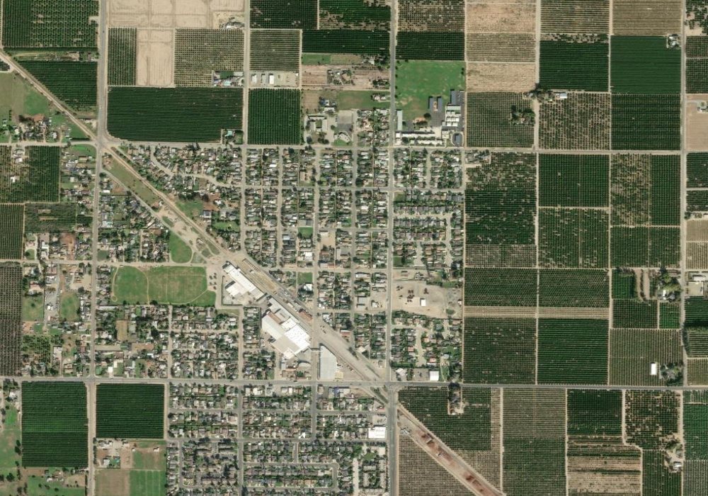
Worked example on real, public Ivanhoe, CA GIS and zoning data — illustrative, not a live customer deployment.
Where the department writes down what it knows. A published answer is the only curated answer the assistant can serve; everything else it says is drafted from your ordinance record and cited to the section.
Licensed per jurisdiction and enforced on the server: an unlicensed module is switched off, not hidden behind a button.
Checks a site plan against the zoning ordinance, flags an incomplete application before it is filed, and reads aerial imagery for structures with no permit behind them.
CEQA screening, the parcel's environmental evidence record, and an Initial Study or EIR structure the lead agency completes and signs. It never records a determination.
Permit status alerts by text, case subscriptions for residents, and inspection requests without a phone call to the counter.
Find the published PDFs and web pages your readers cannot use, in plain language — then let staff confirm each finding and apply the safe fixes.
Pricing is per jurisdiction and scoped to which of these you turn on.
A submitted site plan is checked against your ordinance — setbacks, height, coverage and parking — with every conflict flagged and cited to its section.
Worked example on a real parcel (Ivanhoe Community Hall) using real Tulare County zoning code — illustrative, not a filed permit application.
Click through what your jurisdiction gets — and try a few questions to see how each one answers.
Explore a public parcel in 3D — then ask the assistant about it.
Building and planning records are read through one interface, whichever land-management vendor is behind it. Your permit system stays the system of record; there is no path by which OpenCivic can change a record in it, and nobody keeps two copies in step.
GIS, code and single sign-on connect the same way — see the full list. Running something else? We add connectors on request.
Big enough to transform, small enough to deliver a specialized solution — which in practice means this:
Three visual tools on one real parcel — the Ivanhoe Community Hall (C-2): read a submitted site plan, pre-check an application for completeness, and model the parcel's buildable envelope in 3D.
Upload a site plan and OpenCivic checks setbacks, height, use, and parking against your code — flagging the rear-setback conflict a planner would catch, before the file is opened.
See it liveResidents and applicants get a plain-language pre-check — the assistant reads the submitted plan, extracts what's there, and lists exactly what's missing, so staff receive complete applications.
See it liveModel what a parcel can actually hold — setback- and height-clipped buildable volume in three dimensions, so applicants and staff see the real envelope, not a flat number.
See it live